

The Kiski-Conemaugh River
Kiski-Conemaugh River
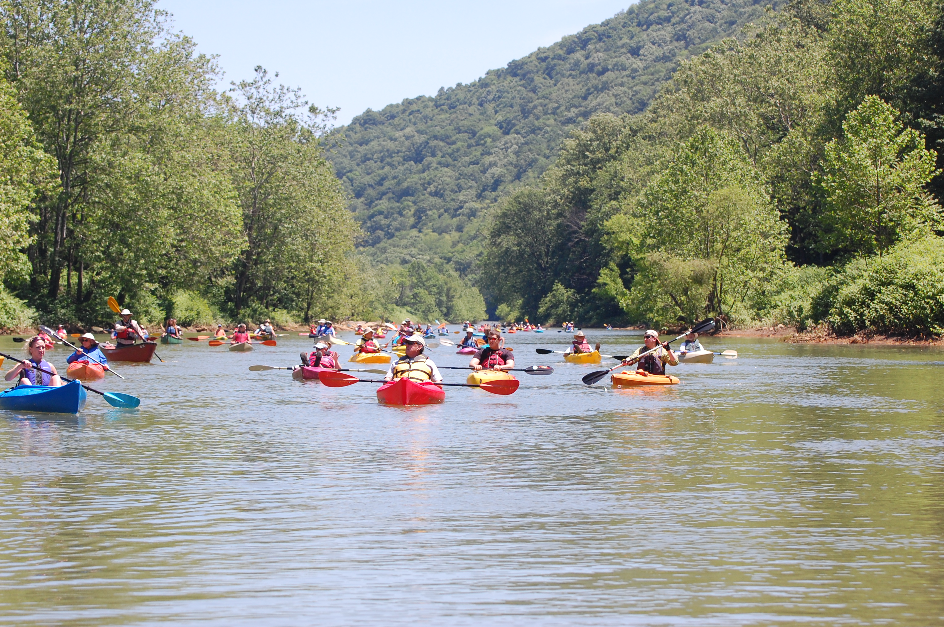
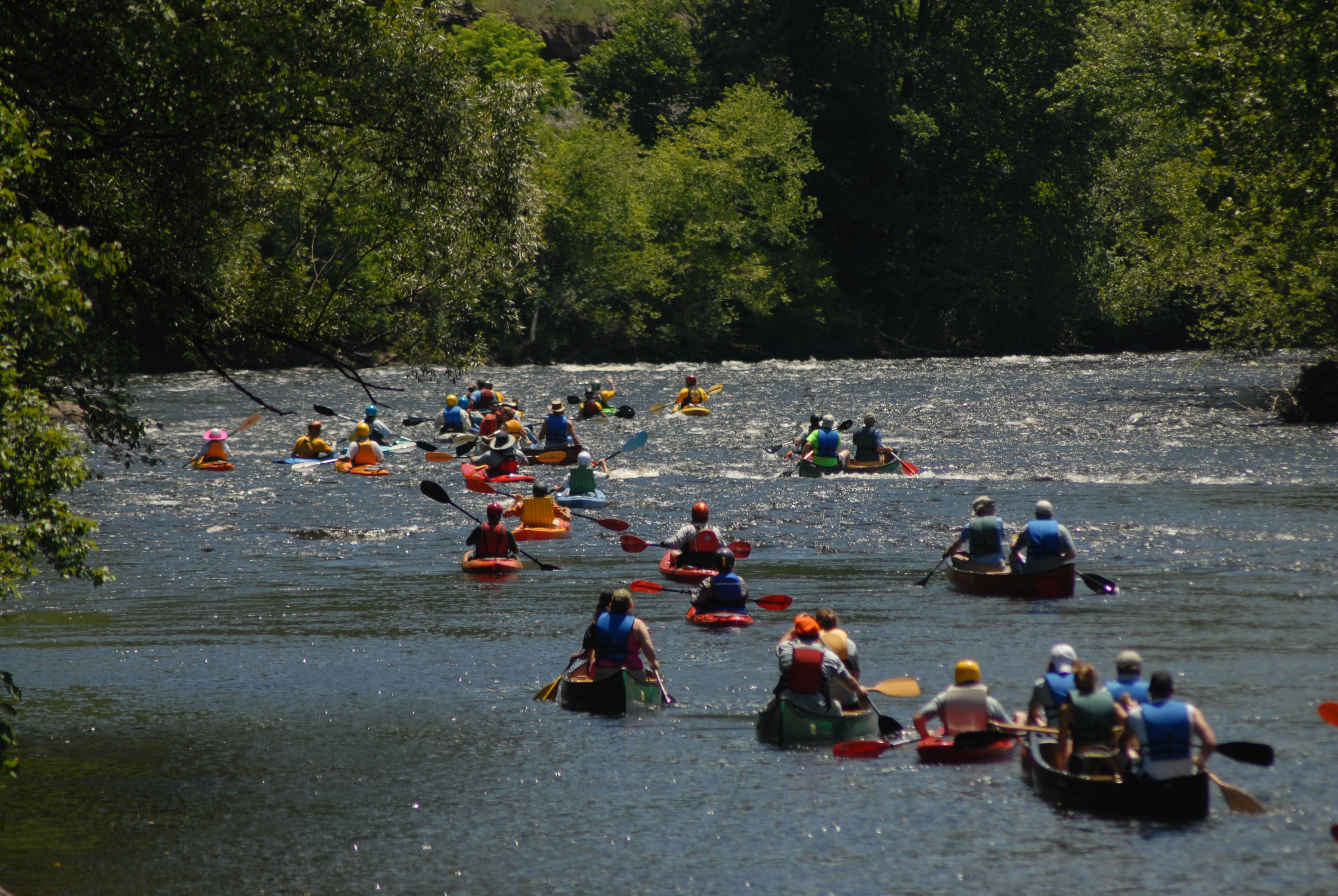
The Kiski-Conemaugh Rivers offer 80 miles of paddling along the borders of Cambria, Westmoreland, Indiana, and Armstrong Counties. The rivers are part of the Pittsburgh-to-Harrisburg Main Line Canal Greenway™, with nearby bike trails and historic communities. The rivers present several character changes. The Conemaugh features the 1,560 feet deep Conemaugh Gorge and 1,308 feet deep Packsaddle Gap. It originates at nearly 3,000 feet above sea level, dropping to 967 feet at the mouth of the Kiskiminetas. The Kiski’s deep pools give way to riffles and waves, calming and widening as it approaches the Allegheny. Once one of the most denigrated waterways in the Commonwealth due to abandoned mine drainage and other pollutants, the Kiski-Conemaugh is a true restoration success story. River of the Year recognition would come on the heels of the Kiski-Conemaugh Water Trail being named a National Recreation Trail and in a year that marks the 125th anniversary of the Johnstown Flood.
The Lackawanna River
Lackawanna River
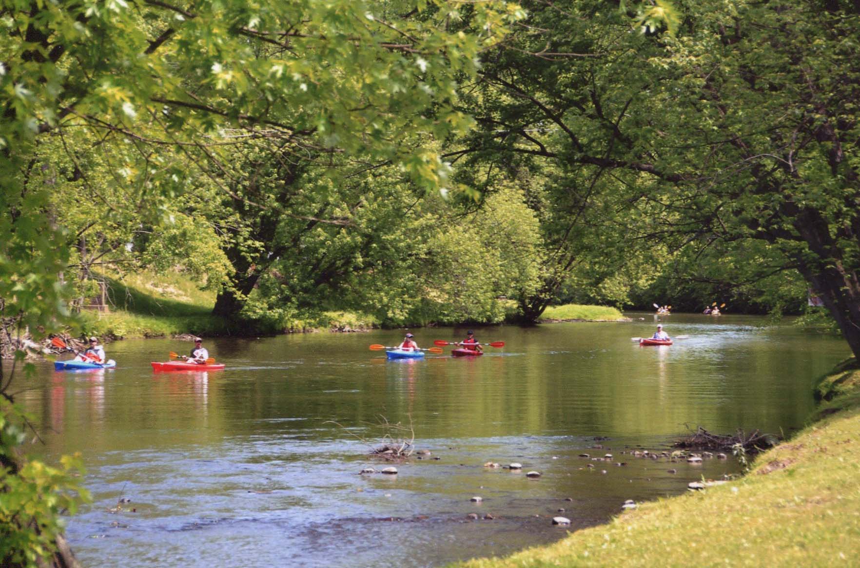
The Lackawanna River flows for 60 miles through Susquehanna, Wayne, Lackawanna and Luzerne Counties. It confluences with the North Branch Susquehanna River at Coxton Point between Duryea and Pittston in Luzerne County, mid-way between the Cities of Scranton and Wilkes-Barre.
The Lackawanna River has been adversely impacted by the Anthracite coal mining industry, railroad, industrial and urban development over the past 200 years. With the abandonment of the Anthracite Mines in the 1960’s and the development of modern sanitary treatment works, the river has staged a remarkable recovery. The Lackawanna now sustains a vibrant cold water “Class A” fishery in its middle and upper reaches. It attracts more paddlers every year. The Lackawanna River Citizens Plan of 1989 and the Lackawanna Heritage Plan of 1990 are leading to the development of an extensive River Trail and Greenway system.
The Lehigh River
Lehigh River
The Lehigh River watershed drains 1,345 square miles of eastern Pennsylvania, encompasses portions of 108 municipalities, contains more than 2000 miles of tributary streams, and drains portions of ten counties. The watershed is home to more than half-a-million people. The headwaters of the Lehigh River are located deep in the Pocono plateau at Lehigh Marshes just north of Gouldsboro in Wayne County. From there, the River winds its way 103 miles to its confluence with the Delaware River in the City of Easton in Northampton County.
The Wildlands Conservancy has preserved over 50,000 acres of natural land and habitat, educated more than 350,000 children and adults, developed and implemented countless environmental and water-quality restoration projects, and planned and constructed over 90 miles of aquatic and terrestrial trails.
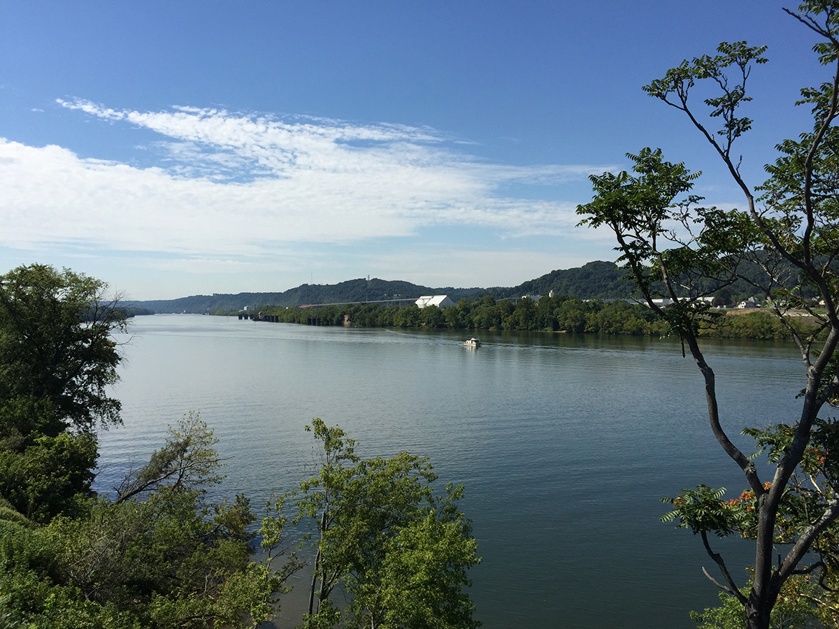
The Ohio River
Ohio River
The Ohio River runs through largely urbanized and industrialized landscapes, brownfields, and main river channels managed largely for commercial interests. The Ohio runs through or along the border of six states, and its drainage basin includes parts of 14 states. This inland waterway serves as an important thoroughfare for commerce. It brings producers and consumers together and connects much of America to the oceans and the rest of the global marketplace.
Just 50 years ago, the Ohio River ran red with unregulated pollution and was quite inhospitable to aquatic life, which decimated fish populations. The great Ohio River, has experienced a rebirth, and today, the Ohio River and its tributaries represent one of the most diverse freshwater ecosystems on earth. The Ohio and its islands have been identified as one of the most important ecosystems for conservation. The Ohio River Islands National Wildlife Refuge works to protect, restore, and enhance habitat for wildlife native to the river’s floodplain.
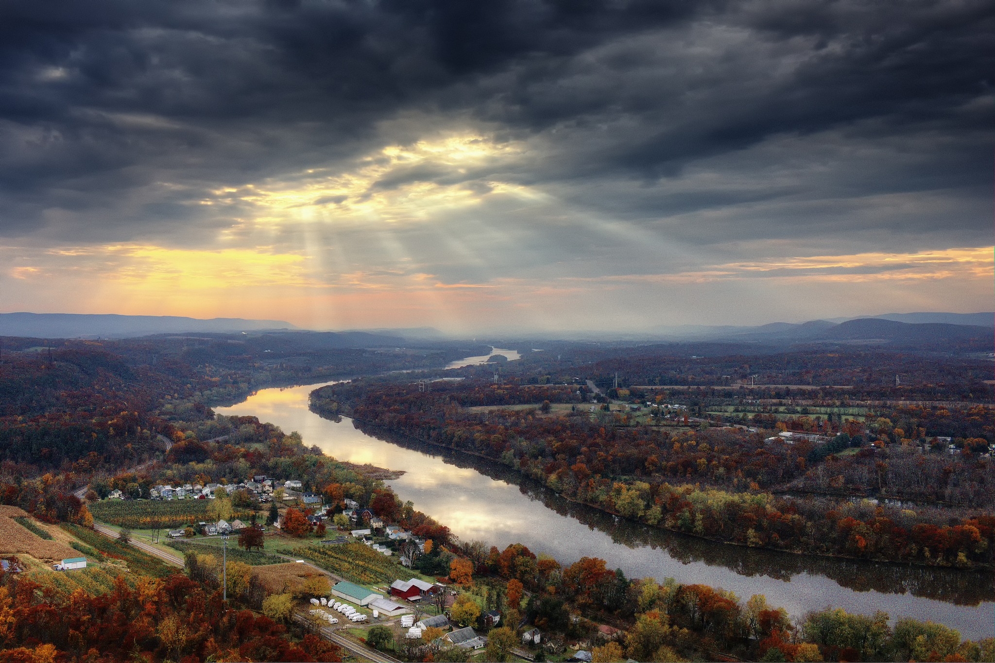
Susquehanna River – North Branch. Photo by John Consiglio
Susquehanna River – North Branch
The North Branch of the Susquehanna River flows from Cooperstown, New York, enters Pennsylvania at Oakland before heading back into New York at Great Bend in Susquehanna County. It re‐enters Pennsylvania at Sayre, in Bradford County and ends at Shikellamy State Park in Northumberland/Sunbury at the confluence with the West Branch of the Susquehanna River. It was once a major transportation corridor, and although its shallow rocky waters are now considered unnavigable in the modern sense, the entire North Branch is still navigable by kayaks and canoes, even during the dry season.
Conservation challenges for the Susquehanna River North Branch include long‐term water quality recovery from abandoned mine drainage and sediment issues since the timber was cleared over 200 years ago and development of towns and cities add to the runoff into the river. North Branch are strengthening their water quality with green infrastructure, and planning future river town improvements to make the Susquehanna River North Branch a great place to live, work and play.
Thank you to everyone who participated! The voting period is now over. Check back soon for more information!
For more information contact Angela Vitkoski at avitkoski@pecpa.org.